The Era of Guesswork Is Over
Before ground is broken or design begins, reality capture is quickly becoming the new industry standard for planning. Whether you’re working on a renovation, expansion, or new construction, starting with site data you can trust is the only way to minimize risk and stay on schedule.
What Is Reality Capture?
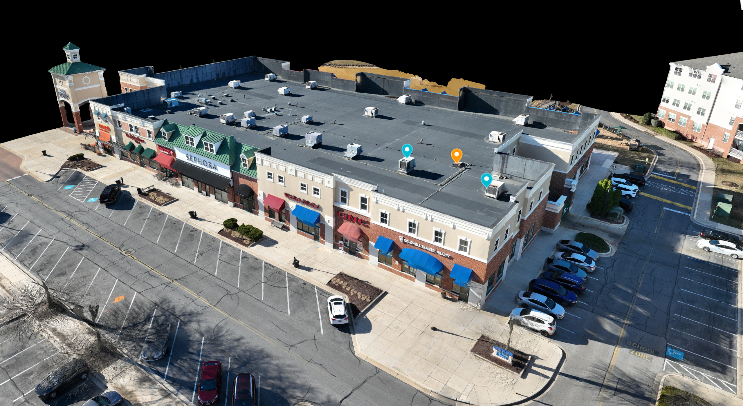
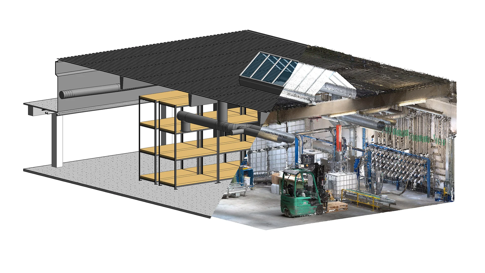
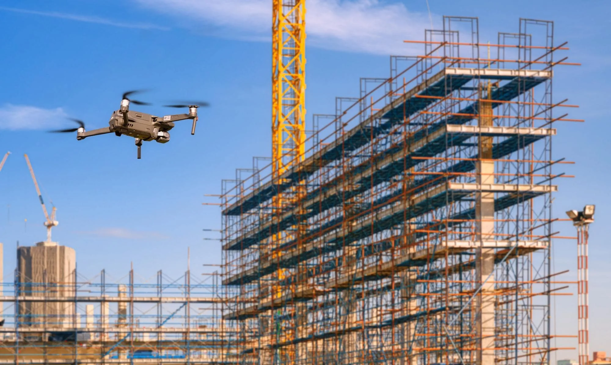
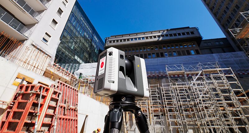
Reality capture involves the use of laser scanners, drones, and photogrammetry to document a site’s physical conditions in high resolution. Instead of relying on outdated floor plans or inconsistent field notes, teams work from a complete, measurable 3D representation of the space.
Why It Matters
Fewer Assumptions = Fewer Mistakes
Design and construction teams often run into surprises due to inaccurate site data. Reality capture eliminates that by showing exactly what’s there—before anyone starts drawing or digging.Better Collaboration
When owners, architects, and contractors are all working from the same accurate model, miscommunication drops dramatically.Improved Scheduling & Budgeting
Knowing site conditions early helps you anticipate obstacles before they cost you time or money.
Final Thoughts
If your planning process starts with a clipboard and a measuring tape, it’s time to rethink your approach. Reality capture gives you clarity from day one—and projects built on clarity don’t fall apart later.